Smarter Cities Start with Better Maps: Geospatial Tech and Sustainability


Sources: techloy.com, geoweeknews.com
Want to read more like this story?

Satellite data and AI drive the next wave of sustainable infrastructure in the UK
Oct, 03, 2025 | NewsThe United Kingdom is advancing the integration of satellite data and artificial intelligence (AI...

2019 Geospatial Industries Totally Worth Checking Out
Feb, 04, 2019 | NewsWith a new year comes new technological strides—or should we say, leaps and bounds? It&rsquo...

Shaping Urban Landscapes: The Critical Role of Microclimate Science in Modern Civil Engineering
Jun, 14, 2024 | NewsIn the dynamic world of civil engineering, the intersection of urban planning and environmental sci...

London to create a digital map of underground infrastructure
May, 20, 2019 | NewsLondon officials are planning to create a digital map with the city's underground network of pi...
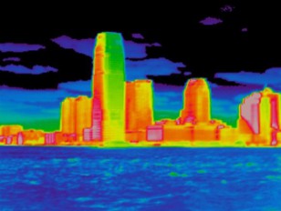
The 'urban heat island' effect could force several major cities to face climate change costs at least twice as big as the rest of the world
Oct, 10, 2017 | NewsSome of the world’s largest cities could face temperatures up to 8°C higher than those of...

Using biometric data to make urban infrastructure safer
Jul, 25, 2021 | NewsA new study focuses on utilizing biometric data to evaluate urban infrastructure safety and prevent...

Cities to live in to escape climate change
Nov, 11, 2016 | NewsA list of the most climate change-adaptive cities in North America A list of the most climate cha...

Different urbanization patterns in large cities worldwide
Oct, 23, 2020 | NewsA new study reveals dissimilar urbanization patterns in large cities all over the world during the p...

A method to deal with urban storm flooding
Jul, 30, 2018 | NewsResearchers from MIT claim that engineered green spaces can capture and purify water from storms con...
Trending

Taipei 101’s impressive tuned mass damper

Characteristics of Load Bearing Masonry Construction

China Completes World’s Longest Expressway Tunnel, Redefining Connectivity
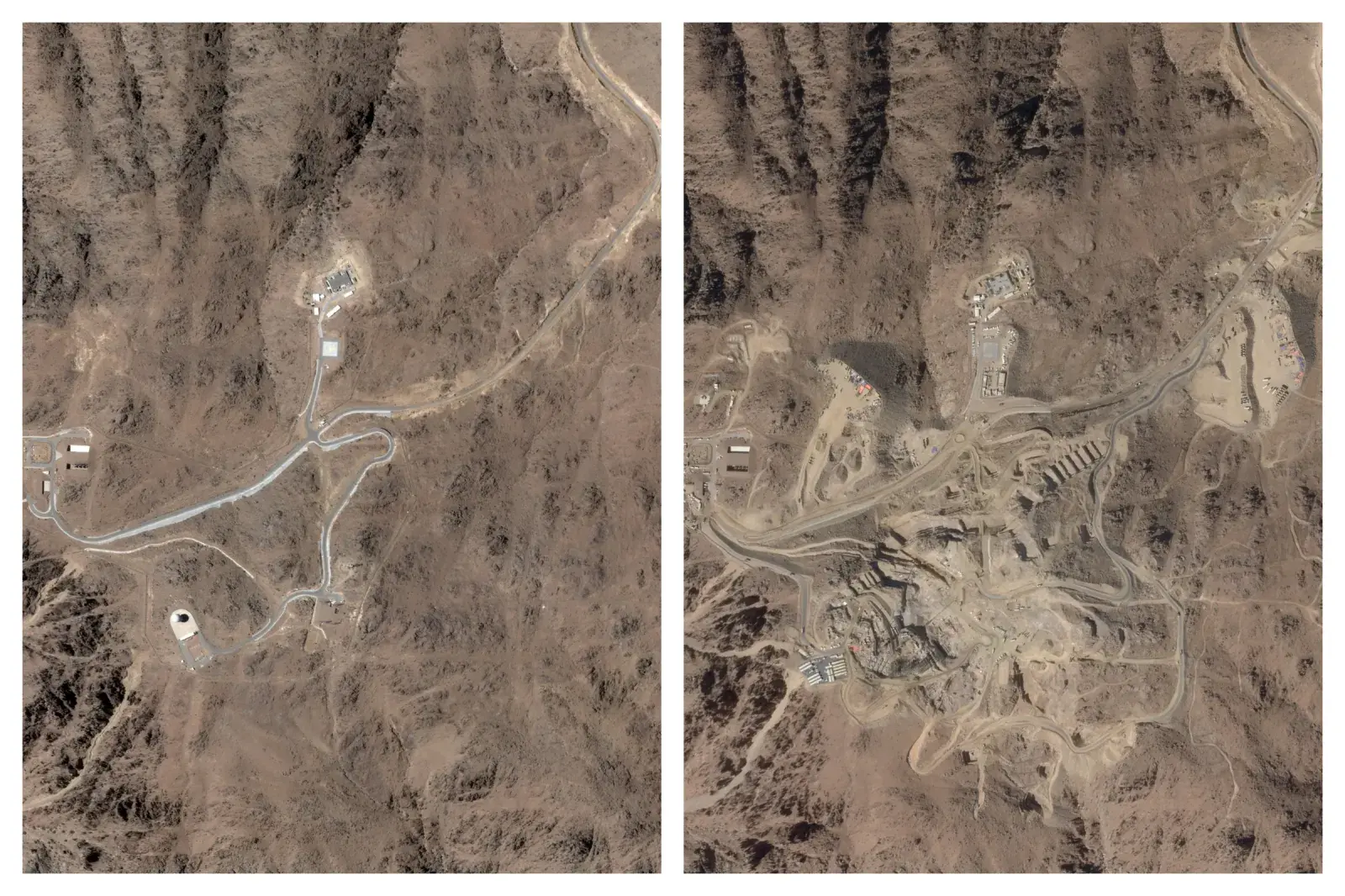
The Line at Neom faces feasibility reassessment while construction continues

The Billion-Dollar Airport Boom: 2025 Megaprojects Shaping the Skies

World's longest expressway tunnel to link northern and southern Xinjiang


